
:: books
:: gallery
:: data
:: blog
:: kids
:: shop
:: bio
:: help
:: contact
:: ChrisKridler.com


|
Words/images COPYRIGHT © 2021 by Chris Kridler. All rights reserved. Do not use Sky Diary photos on other Web sites. Personal use as computer wallpaper is permitted, but do not distribute photos. Write for information about purchasing video, photographs or articles. | Frequently asked questions |
storm gallery: May 17-22, 2002
To see a larger version of a photo, just click on its thumbnail image below. Then, to get back to this page, hit the "back" button on your browser.
 |
 |
|---|---|
| I warmed up for my 2002 storm chasing trip with some severe weather in Alabama. Image from video. | Chasers (from left) Dave Lewison, Mark Robinson and Bill Hark look over Jim Leonard's shoulder as he checks data on the Internet on May 19. Image from video. |
 |
 |
|---|---|
| Jumping for joy? No, jumping for wind: Bill Hark leaps into the air to see how far the howling winds can carry him on May 21 as we head from Kansas into Colorado. Image from video. | At the same stop, Dave Lewison gets a reading of 40 mph winds as his clothes whip around him. Image from video. |
 |
 |
|---|---|
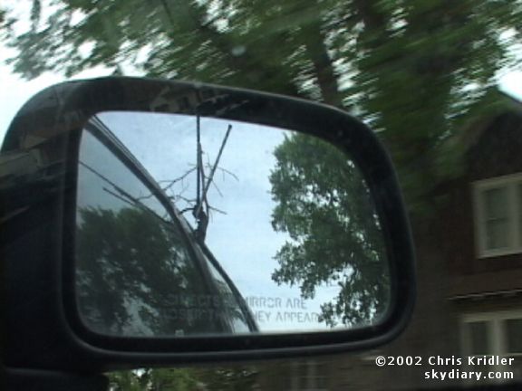
| As seen in the car side mirror, a piece of tumbleweed is stuck in the TV antenna. We were pummeled with tumbleweeds as we went north. Image from video. | In Sidney, Nebraska, Dave Lewison and Bill Hark leap into the air, testing the wind's strength. Image from video. |
 |
 |
|---|---|
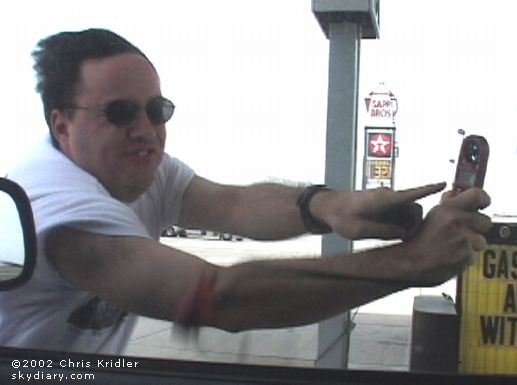
| Bill Hark measures a 51 mph wind in Sidney, Nebraska. Image from video. | West of Cheyenne, Wyoming, we finally see a storm emerge from the clouds of dust on May 21. Image from video. |
 |
 |
|---|---|
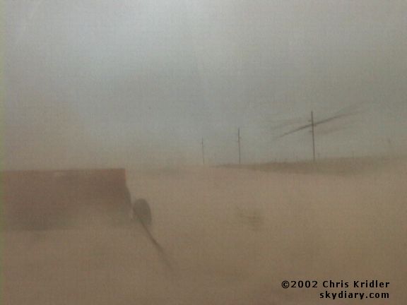
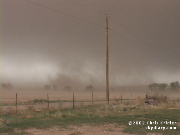
| Debris flies by the car as a weak gustnado hits us. Image from video. | The gusting-out storm kicks up big clouds of dust. Image from video. |
 |
 |
|---|---|
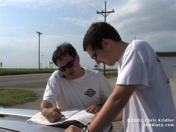
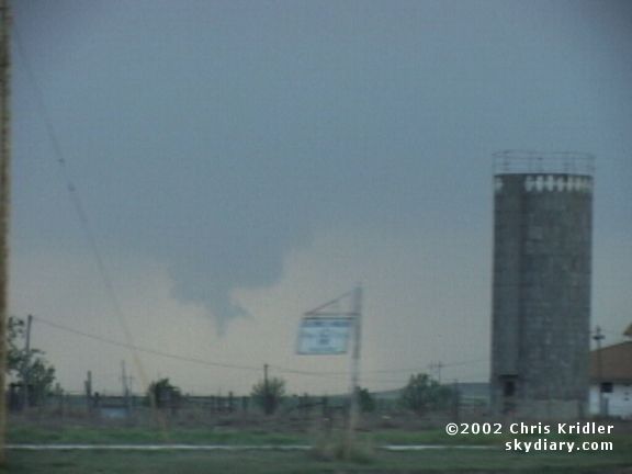
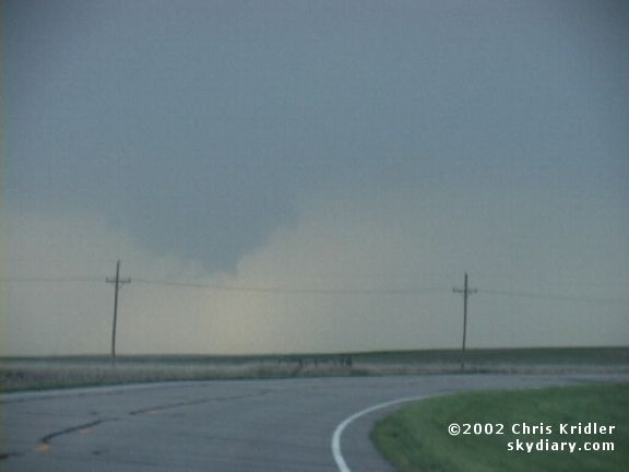
| This is one of three horseshoe funnels I saw on May 22, indicating instability in the atmosphere. Image from video. | On May 22, Bill Hark and Dave Lewison look at a map as storms begin to go up in Kansas. Image from video. |
 |
 |
|---|---|
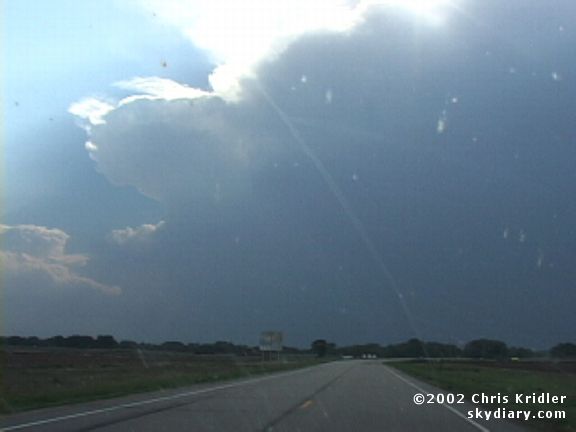
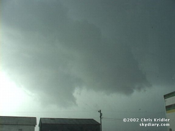
| A storm's anvil cuts into the sky as we head toward the quickly forming line of storms. Image from video. | This funnel-shaped wall cloud near Smith Center, Kansas, looked suspicious but was most likely just scud clouds. Image from video. |
 |
 |
|---|---|
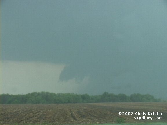
| The wall cloud evolved further but didn't produce much. Image from video. | Ominous-looking scud clouds loom over Smith Center. Image from video. |
 |
 |
|---|---|
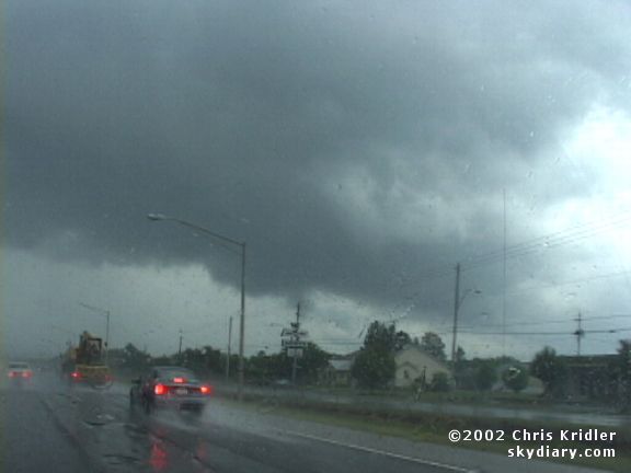
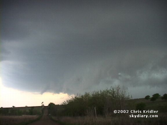
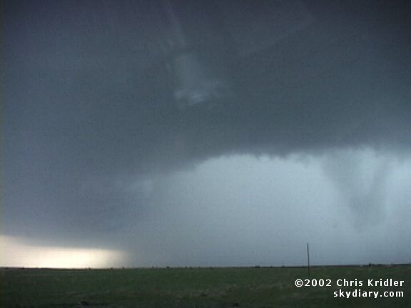
| The next storm that barrelled through town prompted a tornado warning. Image from video. | Though we didn't see a tornado, the storm had a well-developed wall cloud. Image from video. |
 |
 |
|---|---|
| The storm hung together for a while, with a toothy leading edge, as it moved east. Image from video. | Then it started dumping huge amounts of rain. Image from video. |
 |
 |
|---|---|
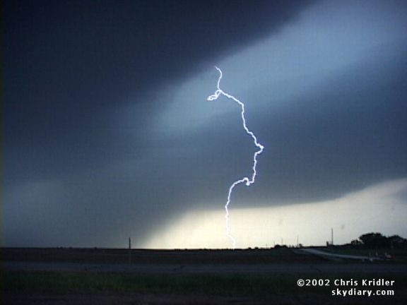
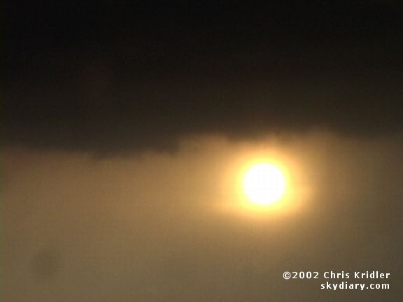
| The storm shot out a little lightning before weakening. Image from video. | The sun set through the rain as we gave up on the mushy storms. Image from video. |
Links to 2002 chase reports:
- May 17-22: A chase to Wyoming is a magnificently windy experience
- May 23-24: A handful of tornadoes in the Texas panhandle
- May 26: A festival of gustnadoes in the Oklahoma panhandle
- May 28-29: Storms lead us on in southwest Texas
- June 2-3: Horseshoe funnels in Nebraska and a blast of hail in Colorado
- June 4: A rotating storm, gustnadoes, a pretty supercell and a race against hail
- July 23 & 25: Triggered lightning at Camp Blanding, Florida
go to the main gallery page | go to storm chasers
go to reports from 2002, 2001, 2000, 1999, 1998, 1997